
Drones
Bare plot, shed, farmstead: filming with a drone
Almost everything written about drones in real estate is about a house, sometimes a flat. Yet a whole part of the market has no photogenic interior, and often no interior at all: a building plot, an agricultural shed, a warehouse on an industrial estate, a farmstead whose buildings were added over three generations.
For these properties the aerial view is not a decorative extra tacked onto the head of a video. It is the only image that genuinely informs, because at eye level there is nothing to see: a hedge, a sheet-metal wall, a gate. The subject is how the whole thing is laid out, and layout can only be photographed from above.
The bare plot: on the ground it is a meadow
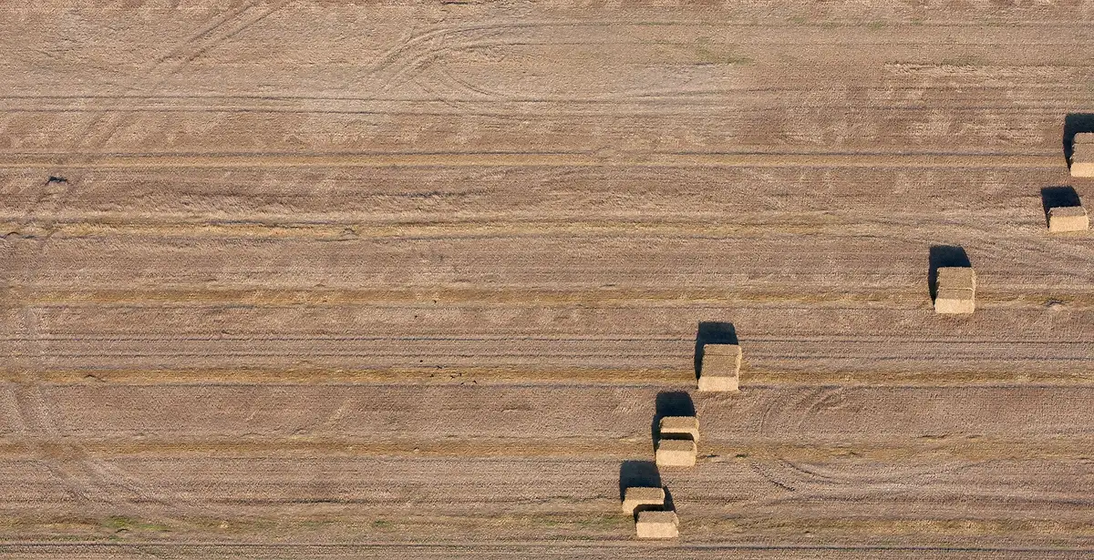
A building plot photographed from the road is indefensible: some grass, a stake, a bit of sky. The same plot seen from straight above becomes readable instantly — its shape, its depth relative to the road, the room a building would take, the distance to the neighbours, where the water runs down. Four seconds of footage answer what a cadastral plan takes ten minutes to explain.
It has to be paired with an oblique shot, lower down, which gives what the top-down flattens: the actual slope, the height of the boundary trees, what you would see from the future windows. A plot sells on two promises — the area and the view — and each calls for its own viewpoint. Mistaking one for the other manufactures disappointment on the day of the visit.
The shed: the roof and the turning area
On a commercial building the buyer is not looking at the architecture, they are looking at two things: the state of the roof and the space in front. The roof, because it is the first item of works and is invisible from the ground; the space in front, because an articulated lorry that cannot turn round disqualifies a building whatever its other qualities.
Both answers fit into a single top-down frame, taken high enough for the building and its turning area to sit in the shot together. It is also the moment to show the moss, the mismatched sheets and the lighter patch repaired ten years ago, honestly. A professional will see them at the viewing anyway, and an image that shows them already saves them time — and therefore wastes less of it.

The farmstead: a group of buildings, not a building
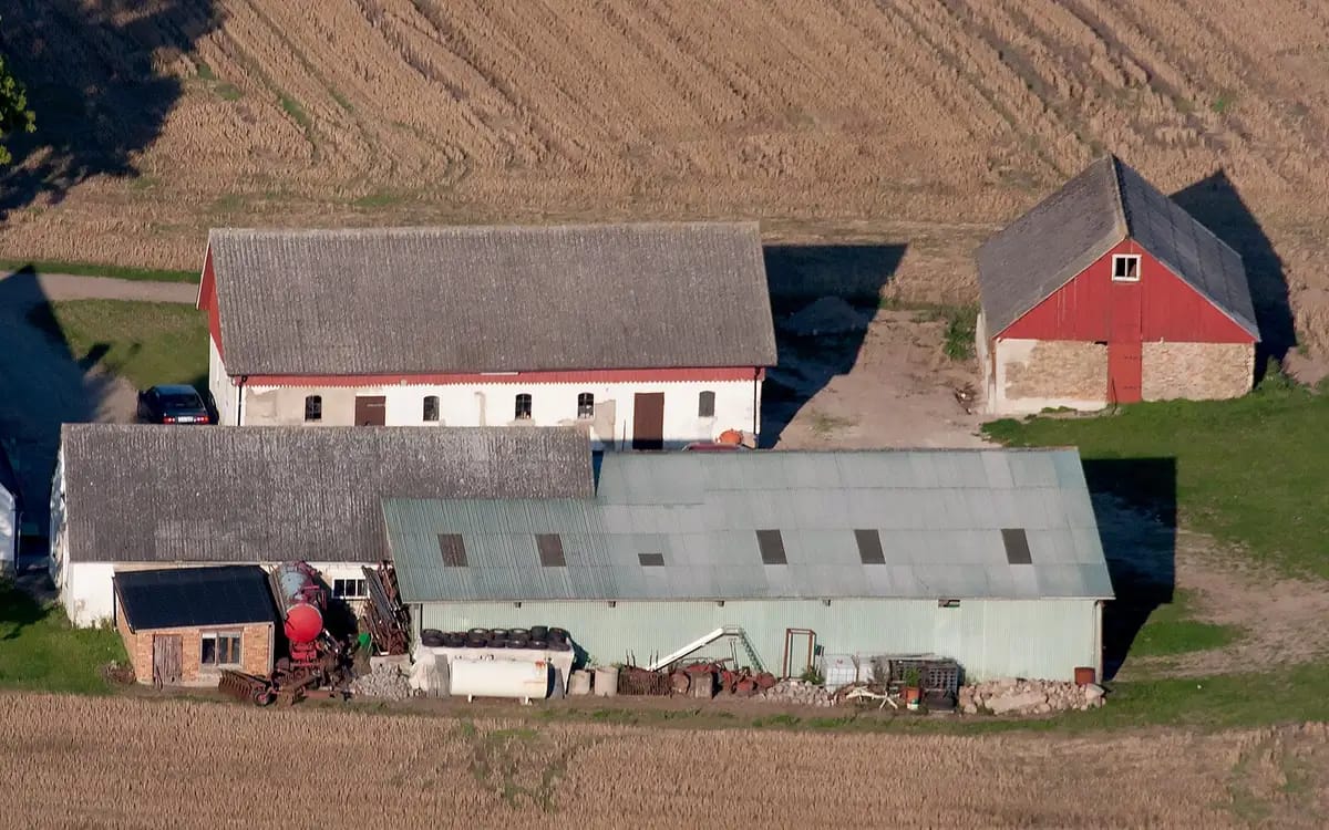
A farm is never one building, it is a yard surrounded by several buildings that were not put up together. That is exactly what no ground-level photograph conveys: from the yard you see one wall at a time, and you grasp neither the proportions, nor what leans on what, nor what could be converted.
The useful image here is slightly oblique, taken along the axis of the yard, at a height that shows all four sides without flattening the volumes. It tells the story of the place and, incidentally, what could become a holiday let, a workshop or a garage. On this kind of property it is often the only image that triggers a visit: the rest of the file is text.
The season decides more than the hour
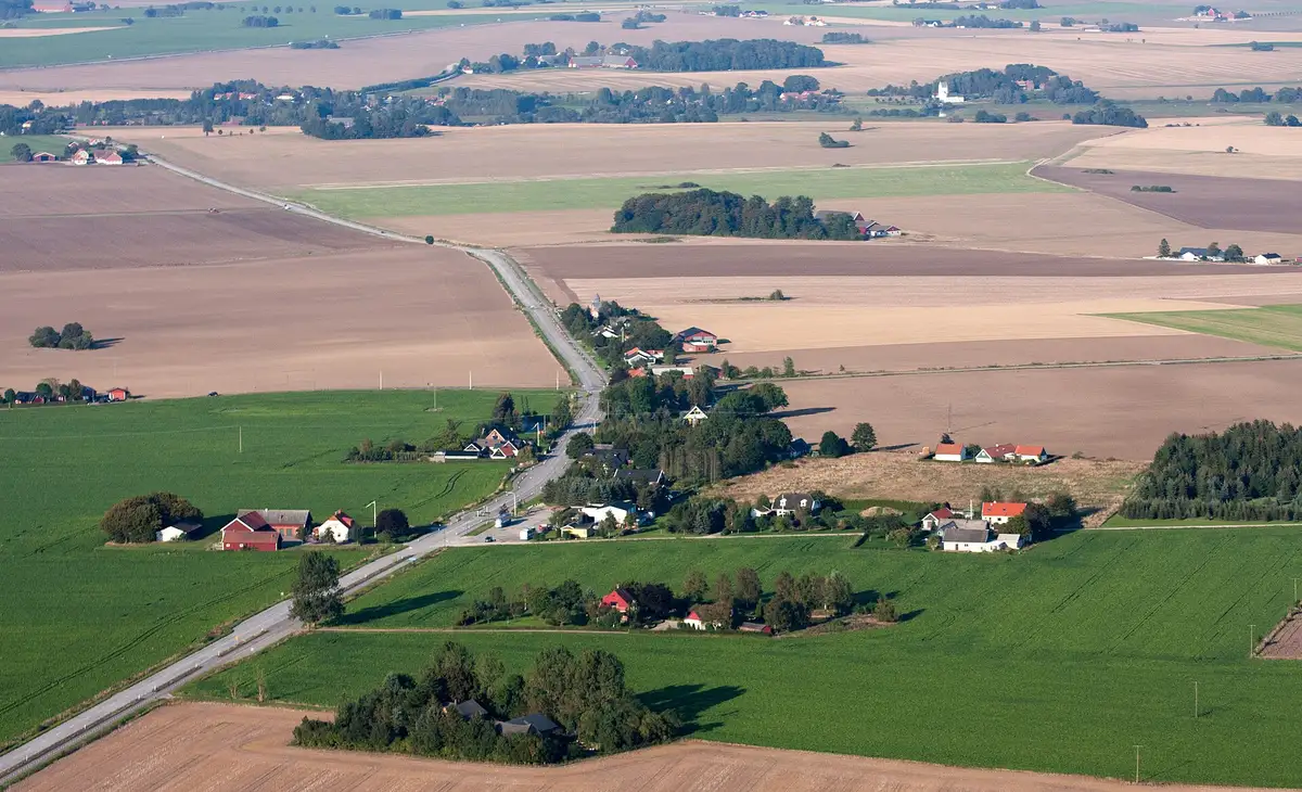
On a conventional built property the light rules. On land and farm buildings it is the calendar. A plot photographed in June with a standing crop shows neither its shape nor its relief; the same plot in March, bare soil, reads like a plan. A leafless hedge shows the boundary, a hedge in leaf hides it entirely.
This has an inconvenient practical consequence, but one worth saying early: on these properties it is often better to move the shoot by three weeks than by three hours. A farm whose hay is in, a yard cleared of its machinery, a mown bank — these are shooting conditions as much as the wind is, and no setting will make up for them.
What the sky shows, and what it will never prove
| The property | What the aerial view shows in one image | What it never proves |
|---|---|---|
| Bare plot | Shape, depth, slope, access, boundary | The survey pegs, the soil, the utilities |
| Shed, warehouse | The state of the roof and the turning area | Clear height, floor condition, load capacity |
| Farmstead | How the buildings are arranged around the yard | The state of the roof timbers, floors and drainage |
The aerial opens the file, it does not replace it
This is the limit to set out in the listing itself, because it protects everyone. An aerial view makes a property understandable and makes people want to travel to see it; it replaces neither a survey, nor a surveyor, nor a viewing. Mixing the two registers — showing and certifying — is exactly what produces disputes, and it is headed off by one honest sentence under the image.
If you fly yourself, choosing a drone for what you film and aerial filming of a property cover the equipment side, and adding value to a property with aerial views covers the sales argument. If you would rather hand it to me, describe the plot and the season you have in mind in a request in the property context: on this kind of property the date matters as much as the hour, and it is better discussed early.
More in this section
 Drones
Real estate drone: authorizations to sign
An aerial announcement video is shot in an hour. The declaration which authorizes it is submitted ten days before: to be paid before reserving the drone.
6 min read Drones
Drone Insurance: Who Pays If the Drone Falls?
Three wallets can be called when a drone goes down, and only one is ours. Who pays what, in what order, and where the deductible ends.
5 min read Drones
AlphaTango: who registers when you rent a drone?
During the rental, you are the drone operator. The AlphaTango step by step, from creating the account to entering it in DJI Fly, and the XXL battery.
6 min read