
Drones
Scouting: what you look at before unpacking the drone
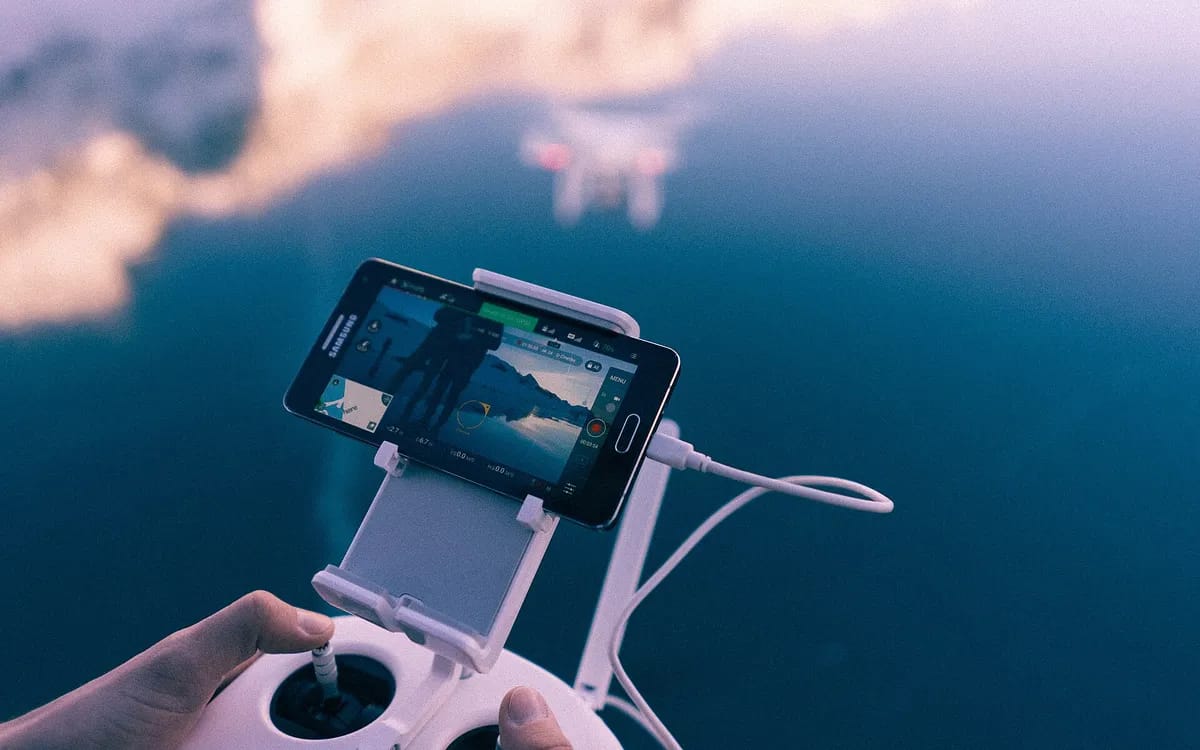
Scouting is the only part of an aerial shoot that produces no images at all, and it is the part that decides every other one. It does not take long — a quarter of an hour for a house, half an hour for a farm — but it is done on site, on foot, with the aircraft still in its bag.
It is often confused with desk preparation. They are two different things: the screen tells you what is permitted and what was there two years ago, the ground tells you what is possible today. Both are needed, in that order, and neither replaces the other.
The satellite view is two years old, the ground is today
An online aerial view is an excellent starting point for understanding the shape of a plot and the orientation of a building. It is a very poor document for preparing a take-off, because it is dated. In two years a hedge becomes a six-metre screen, a shed goes up, a drive is resurfaced, a pole is planted.
Three things almost never appear on it and change everything: overhead lines, whose cable cannot be seen from above; the earth wires and stays of a pole, more discreet still; and the immediate relief, that two-metre slope which makes a corner of the garden unusable. They become visible in thirty seconds on site, and never otherwise.
The take-off point: five checks
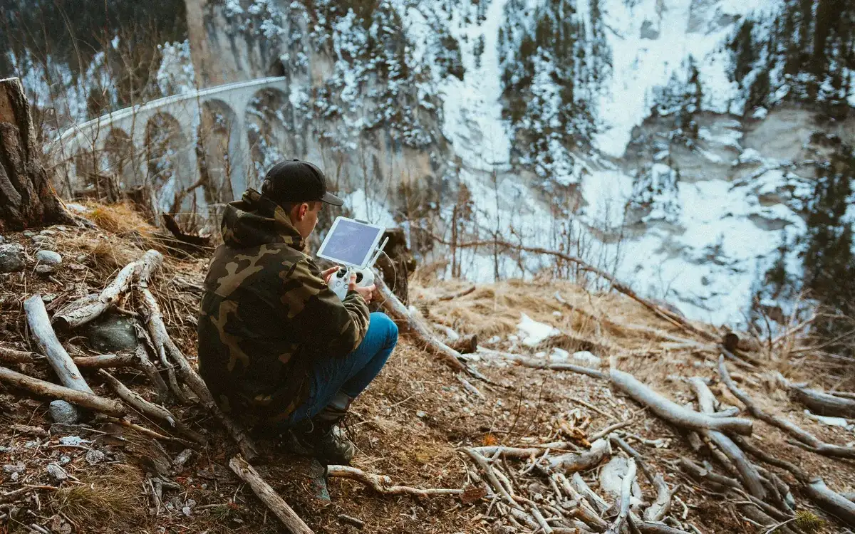
- A flat, firm surface of at least a square metre, cleared of anything that flies: fine gravel, cut grass, dead leaves, sand. A propeller sucks up whatever is lying around and throws it back into the camera.
- Clearance overhead. Standing under a tree because there is shade is the most common mistake, and the most expensive.
- A direct view of the aircraft throughout the flight. This criterion overrides all the others: better to take off from a less comfortable spot and keep the aircraft in sight.
- An access that stays clear. A turning area where a car can park while you are in the air is not a take-off area.
- Room to set the bag down beside you, open, without it blowing away or filling with water.
These five points are checked while walking, and written down. On a property you do not know, two written lines beat memory: on the day of the shoot you arrive with equipment, a client, a weather window and often a fixed time, and that is not the moment to rediscover the ground.
What gets in the way and is only visible from the ground
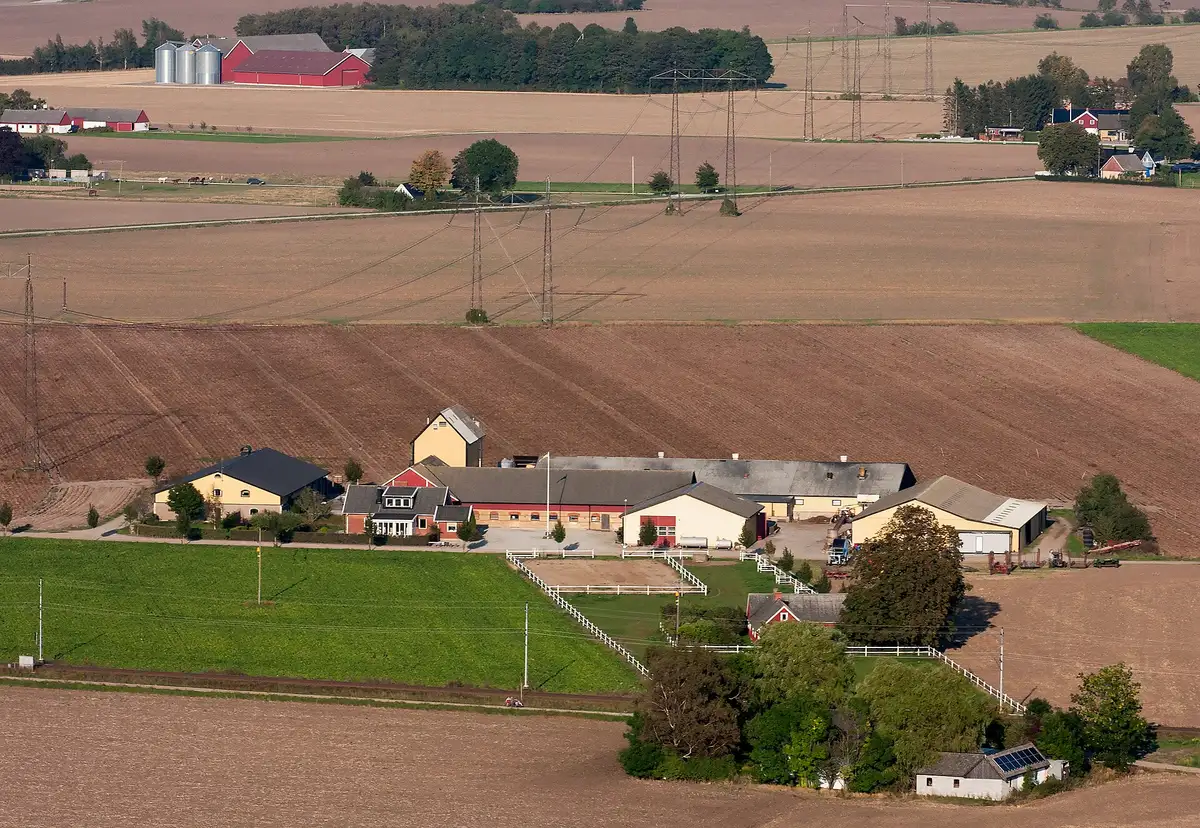
Overhead lines first. Seen from above they disappear: the cable is thin, dark, and merges with the ground. That is why you spot them from the ground, by looking for the poles and following the direction of the cables with your eyes, rather than by hunting for the cables themselves. A farm is often crossed from end to end, and the route does not follow the boundaries of the plot.
Trees next, especially those along the edge of the property. They do not only obstruct the flight path: they hide the aircraft at the precise moment you need to see it, which is when it is far away. An enclosed courtyard combines two distinct problems — the air swirls and the radio link is poor. It is not a place to take off from, it is a place to fly over.
Finally, surfaces that bounce light back: a glass roof, solar panels, a pool, a greenhouse. They pose no flight problem at all, but they decide which side you will film from, because a sun flare in the middle of the frame cannot be fixed in the edit.
The landing point is not the take-off point
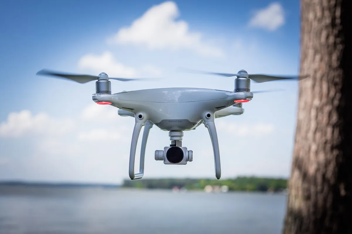
This is the most ordinary omission in scouting. You carefully choose where you leave from, and assume you will come back to the same place. In practice the wind shifts, the sun moves, a car parks, a dog comes out. Scouting a second landing spot — even a rough one, even a worse one — costs a minute and saves you looking for an answer with a falling battery.
Scouting includes a time of day, and people
A place is not the same at nine in the morning and at four in the afternoon, and not only because of the light. The school emptying out, the Saturday market, the skip on the neighbouring building site, the day the neighbour mows: these are scouting data just as much as the relief. You get them by asking the occupier, who knows them all.
The people present, in turn, are not a detail to be sorted out in the edit. What the law says about filming people with a drone is better handled while scouting than in the editing room: it is infinitely simpler to pick a slot when the terrace next door is empty than to blur it afterwards.
What is prepared the day before, on screen
The applicable framework is the European open category, with one rule that directly concerns real estate: a paid flight over public space in a built-up area requires a declaration to the prefecture, filed ten days in advance. What never changes is that the feasibility of a flight is checked location by location, and on the day itself: restrictions are read on the official map before setting off. Our guide to drone regulations in France covers this point, and the authorisations to sign deal with the paperwork, the part that has deadlines.
That leaves what you take with you, which is decided on the way back from scouting rather than while packing: the number of batteries depends on the number of viewpoints chosen, not on the length of the appointment. A scouting run that yields three flight paths asks for less than one that has settled nothing.
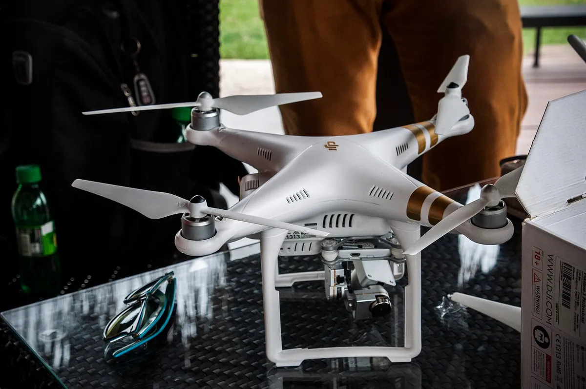
Scouting done well shows up in no image at all, and that is exactly its purpose: it makes the surprises disappear before they cost a day. If you would rather not handle it, describe the property and its access in a request in the property context — scouting is part of the job, and it starts with your answers.
More in this section
 Drones
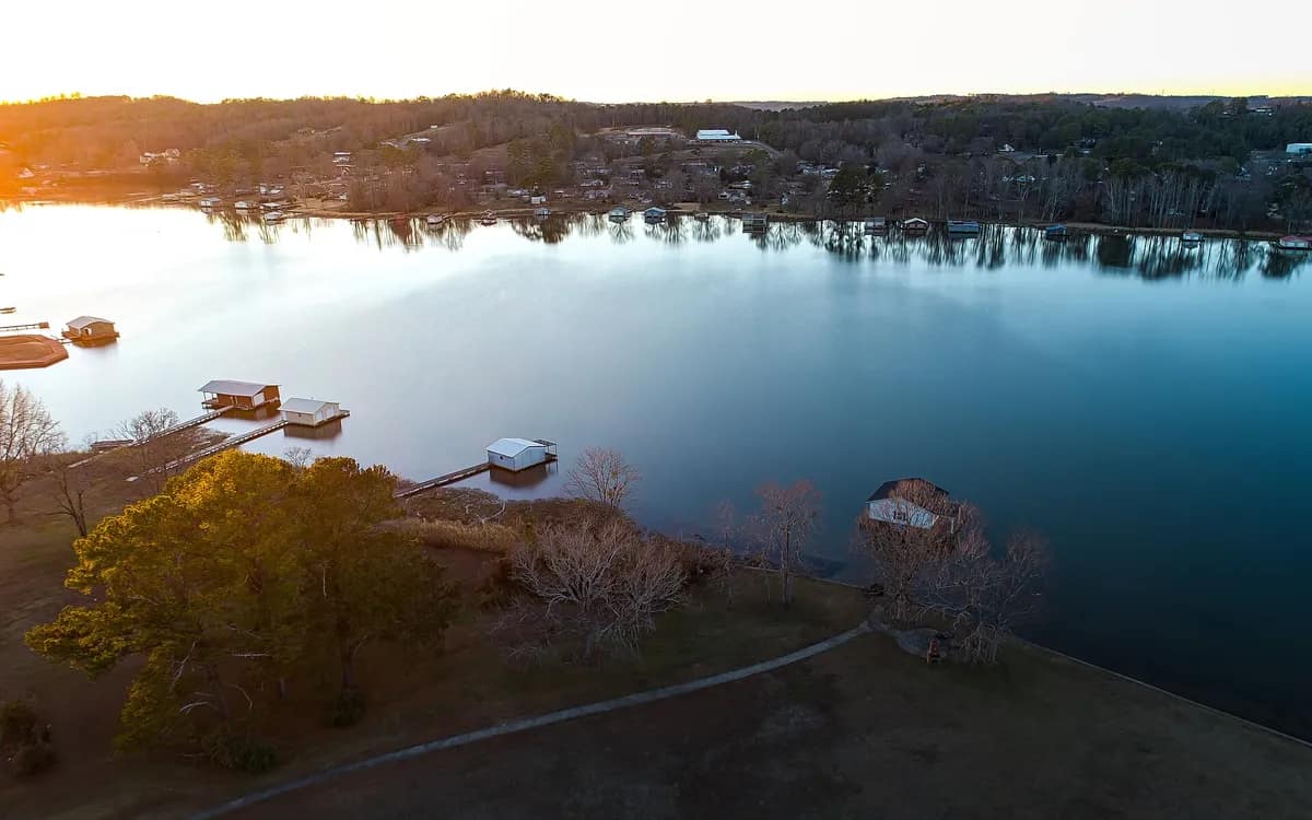
The hour of the flight: the cast shadow decides
Golden hour is good advice for a landscape and bad advice half the time for a property. The orientation of the façade, by contrast, is never wrong.
5 min read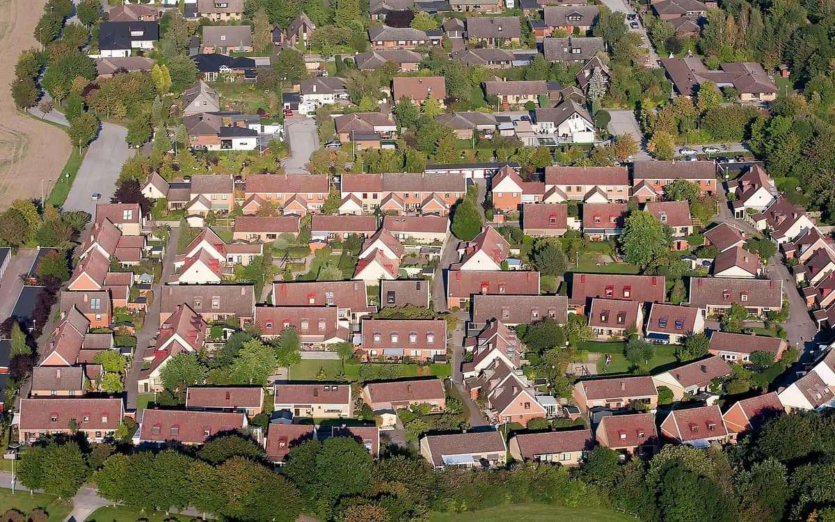 Drones
Framing a property without filming the neighbours
Before it is a legal question, the neighbours are a framing question. Height, direction, where to stop the rotation: how not to have the problem at all.
5 min read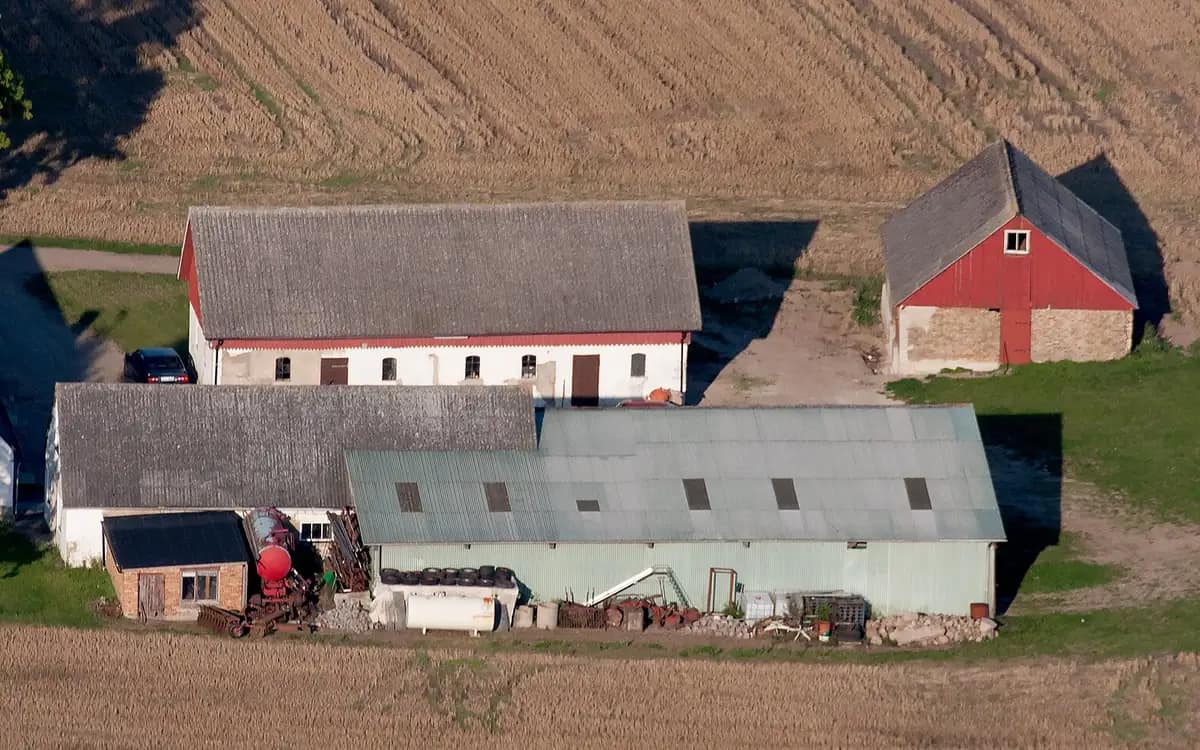 Drones
Bare plot, shed, farmstead: filming with a drone
The properties with no photogenic interior, where the aerial view is not a bonus but the only image that genuinely informs the buyer.
5 min read